March 17, 2016 Staff Report
Residents will be able to keep a closer eye on much of the criminal activity taking place in Jackson Heights and surrounding neighborhoods using the NYPD’s recently released CompStat2.0 website.
The site allows users to search crime stats by precinct and to see criminal incidents pinpointed on a map. Jackson Heights/Corona is covered by the 115 Precinct north of Roosevelt Avenue and the 110 Precinct south of Roosevelt Avenue.
Users are able to select a precinct to see crime statistics and how they compare to the previous year.
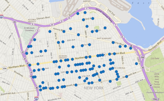
Users can also see when and where incidents of a specific crime occurred. On the map, blue dots appear, showing where a crime took place. Users can click each dot for more information about the crime.
Data can also be sorted by time of day, day of the week and “subtype” (for instance, residential robberies versus shoplifting).
Therefore, if there is a crime pattern–such as a spate of burglaries–residents will be able to track them.
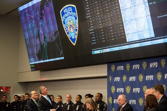
“CompStat 2.0 changes the way crime data is reported,” Police Commissioner William Bratton said. “It provides the ability for anyone to search what matters to them: their street, their neighborhood, their borough. This sort of clarity is not merely about useful information, it also builds relationships between the police and the community.”
The NYPD released the CompStat2.0 website on Feb. 23.
“We’re taking CompStat into the 21st Century—and making our crime numbers clear and accessible for all New Yorkers,” Mayor Bill de Blasio said.

Major crimes in the 115 Precinct this year


